Good policy is based upon good data; meaning your data has been fact checked and that you have enough of it to know it accurately represents your research subject. Advocating for change based on our daily experiences is legitimate. However, collecting other data gives us a clearer picture of what’s going on and where change is needed—if at all. So let’s collect some data about your neighborhood.
Walk your neighborhood and map the need for street services. You can pin your address and print a map from Google, or sketch one out yourself.
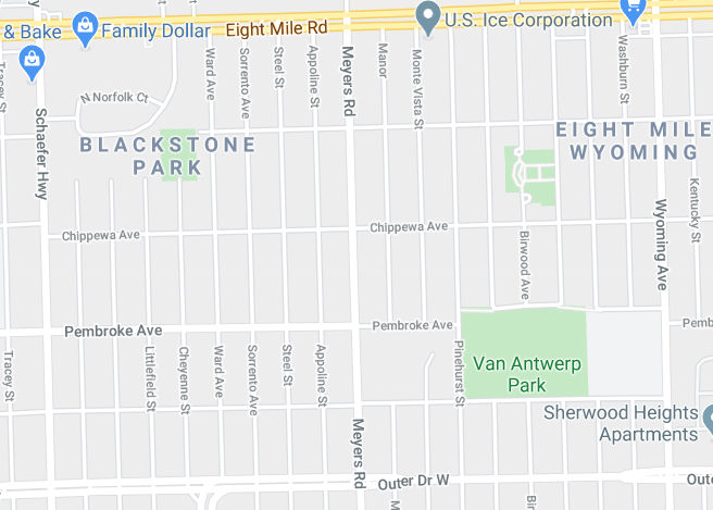
If it has snowed recently, note on your map where the streets have and haven’t been plowed. Are they totally cleared or still icy? If it hasn’t snowed, map the conditions of the streets. Where are there potholes, where have the streets been recently paved?
Now you’ve got data to share with the Department of Public Works, your Council person, or even the Mayor! Choose who you want to share the information with based on your message. Remember, people work hard to bring services to us so tell them if the streets need work, but also tell them if they’re well maintained.